Sagebrush population recovery after wildfire
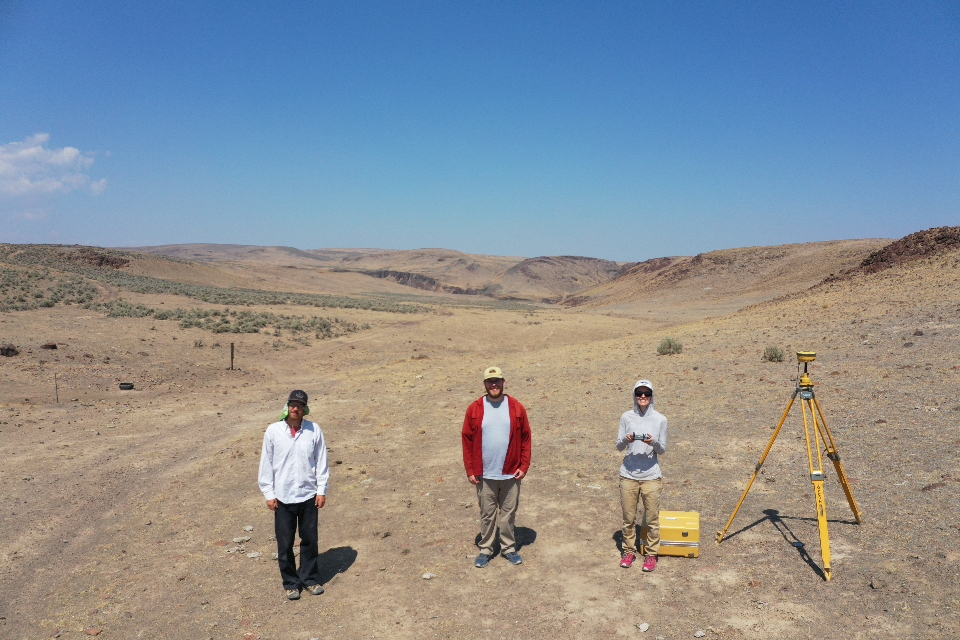
Wildfires pose a growing threat to ecosystems in the American West, as climate change and invasive species promote larger and more frequent fires. Understanding how fast, if ever, native plant populations can recover from wildfire will aid efforts to restore degraded ecosystems. We are developing new methods to survey plant population recovery, including computer algorithms to detect individual plants in aerial imagery and statistical models to quantify drone-detected plants’ growth, survival, and reproduction. We will apply this research to forecast population recovery of big sagebrush plants, a species with critical ecological importance in the Intermountain West.
Model toolbox: computer vision algorithms, agent-based models, point-pattern analysis
Related papers: Requena-Mullor et al. 2019, Zaiats et al. 2020, Zaiats et al. 2021, Robb et al. In Press, Applestein et al. 2021
Forecasting tropical forest succession
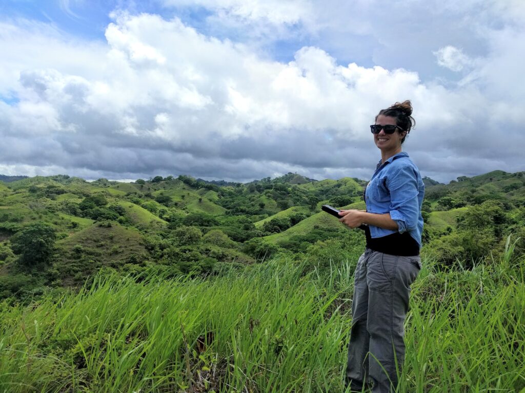
Tropical forests harbor the majority of terrestrial biodiversity and store massive amounts of carbon. As tropical forest degradation increases, so does the need for tropical forest restoration across vast land areas. Natural regeneration, forest regrowth with minimal human intervention, will be an essential component of forest landscape restoration. While natural regeneration has low to minimal cost, rates of natural regeneration are highly variable. Working in Panama, Guyana, and Peru, we conduct fieldwork and apply remotely sensed data to forecast natural regeneration at landscape scales.
Model toolbox: State-space models, near-term forecasting, time series analysis
Related papers: Caughlin et al. 2019, Caughlin et al. 2021, Tarbox et al. 2018, Ram et al. 2021
Measuring biodiversity across taxa and scales
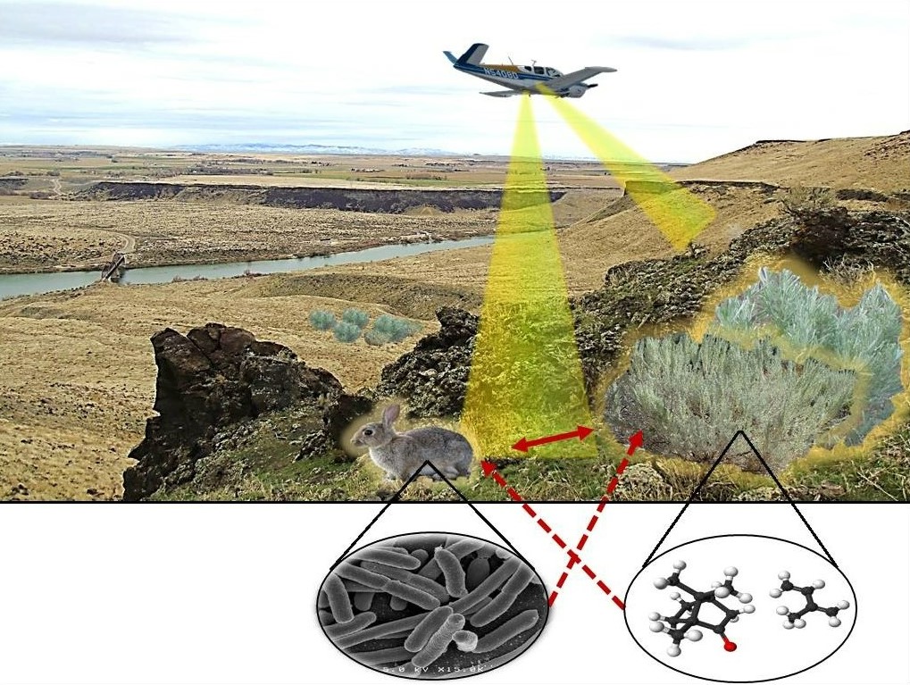
Biodiversity increasingly encompasses multiple levels of biological organization, from biomolecular diversity to landscape heterogeneity. We are developing new methods to quantify biodiversity across these disparate scales, to provide rapid assessments of biological communities for conservation and restoration. Study systems include gold mines in tropical rainforests of Guyana, where we have demonstrated links between insect biodiversity and satellite imagery, and sagebrush steppe of North America, where we are integrating plant biochemistry with gut microbial communities to improve conservation of threatened herbivores.
Model toolbox: Latent Dirichlet Analysis, joint species distribution models
Related papers: Hudon et al. 2021, Stoll et al. 2022
Urbanizing landscapes in the Intermountain West
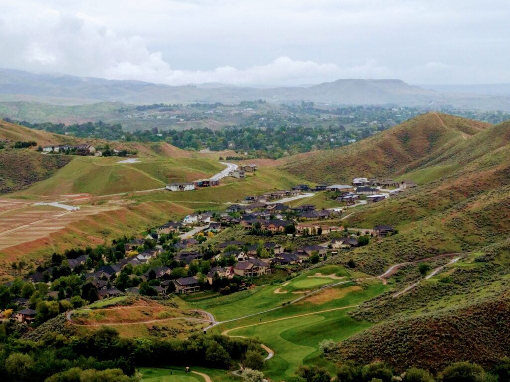
Urbanization has major ecological impacts, from habitat fragmentation to invasive species introduction to altered disturbance regimes. In the United States, some of the fastest-growing cities are located in the Intermountain West, where human population growth is colliding with an imperiled biome: sagebrush steppe. We are using a combination of satellite remote sensing data, UAS imagery, and field plots to study how urbanization will impact sagebrush steppe ecosystems.
Model toolbox: Causal inference through counterfactual models, Spatio-temporal Bayesian models
Spatial dynamics of invasive plant spread
Invasive plants threaten native ecosystems and damage economies. Targeted control could improve management and, ultimately, eradication of invasive plants. However, targeting areas for control measures requires knowing where population spread is most vulnerable to disruption. We are studying how the interplay between seed dispersal and establishment generates invasive species distributions and identifying bottlenecks for population spread. Focal species include the invasive goathead plant in Boise, Idaho, a nasty weed that punctures bike tires.
Model toolbox: Network analysis, dispersal kernels, stage-structured population models